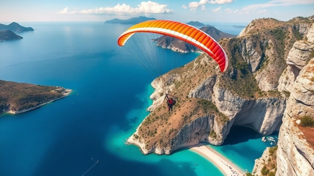
Rising to 1960m above Oludeniz, Babadag is a world-class paragliding mountain.
At 1,960 metres, Babadağ ("Father Mountain" in Turkish) is the highest peak in the region regularly used for commercial tandem paragliding in Europe. Its position — rising almost straight out of the sea, a few kilometres from the coast — is what makes it fly so well.
That closeness to the water means sea-breeze and thermal cycles interact in a way that keeps conditions flyable for most of the day across a long season, rather than only in a narrow morning or afternoon window.
Each of the four launches has its own character, and your pilot chooses the one that fits the day's wind, cloudbase and your flight package.
On a clear day, the view from the top takes in the entire Ölüdeniz bay and Blue Lagoon, Butterfly Valley to the south, Gemiler Island and Fethiye harbour to the north — and on the very clearest days, the Greek island of Rhodes on the horizon.
Even from the lower 1,200m launch, the Blue Lagoon sits directly below you for the whole descent, which is why it remains the most photographed viewpoint of any flight here.
The mountain's steep, largely tree-covered slopes generate consistent thermal activity through the flying season, while the drop straight to sea level gives pilots enough altitude to work with even on days when lift is modest.
This terrain is also why local knowledge matters — valley winds and rotor can form in specific spots, which is exactly what a licensed local pilot is trained to read and avoid.
Babadağ is a limestone peak in the Taurus range reaching 1,960m above sea level, rising almost directly from the Mediterranean coastline near Ölüdeniz.
Your pilot decides on the day based on wind direction, cloudbase and your package. Most standard tandem flights use the 1,200m launch; high-altitude and sunset packages often use 1,700m or 1,800m.
For tandem passengers, no — the launch and flight are managed entirely by your licensed pilot. For solo and XC pilots, Babadağ rewards local knowledge of its thermal and valley-wind patterns.
On very clear days, yes — the island is visible on the horizon from the 1,960m summit, alongside views of the entire Ölüdeniz coastline.
Tandem flights all year round — daily in season (April–October), weather permitting in winter — one fixed $150 all-inclusive price. Book online or contact us directly.
